
PHOTOS ARE FROM 2025-12-10. SCROLL TO BOTTOM.
Grand Canyon is 277 river miles long. It starts at a place called Lee’s Ferry, which is southwest of Page, Arizona. Here people drive down to the Colorado to begin rafting expeditions through the Canyon.
If you’ve ever been to Grand Canyon, you can imagine why there are not more roads to the bottom. The sedimentary rock strata comprising the walls of Grand Canyon are too sheer-vertical virtually everywhere for roads hosting automobiles.
Merely constructing hiking trails – a far easier construction than roads – to the bottom is difficult enough. You can only build trails where all strata are sloped gently enough, and even where they are, sharp switchbacks are still necessary.
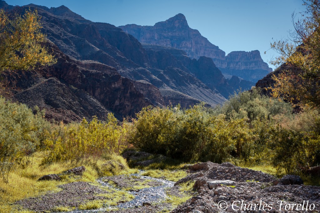
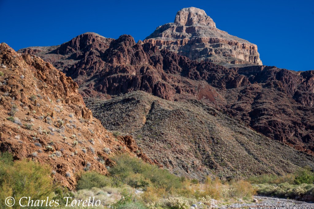
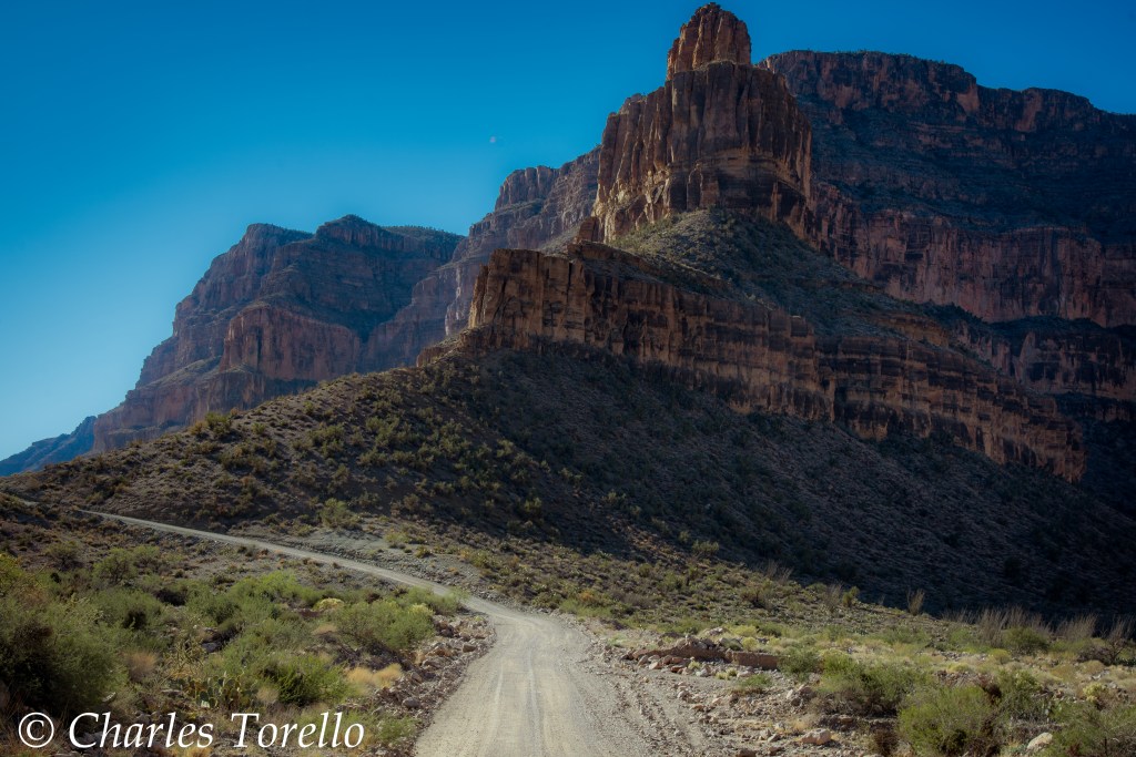
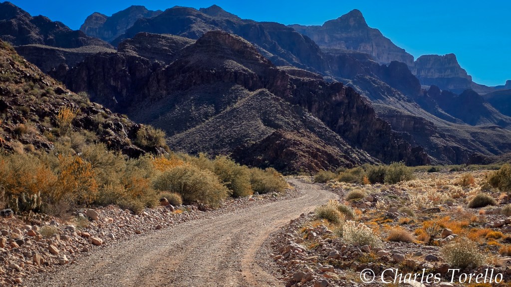
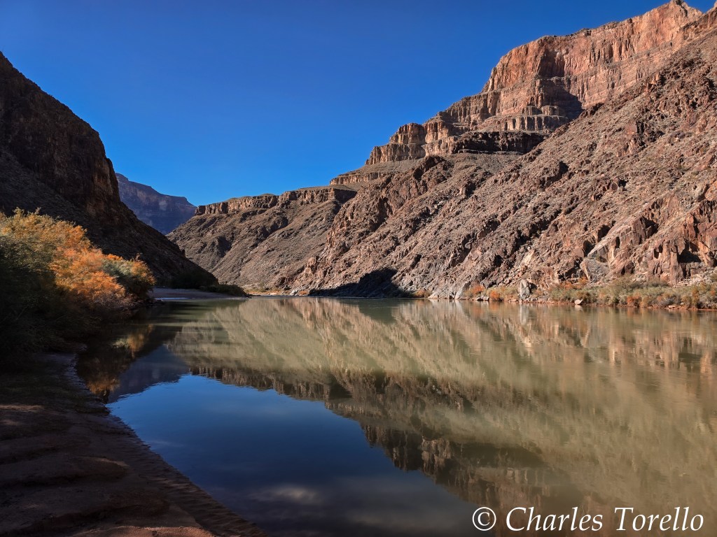
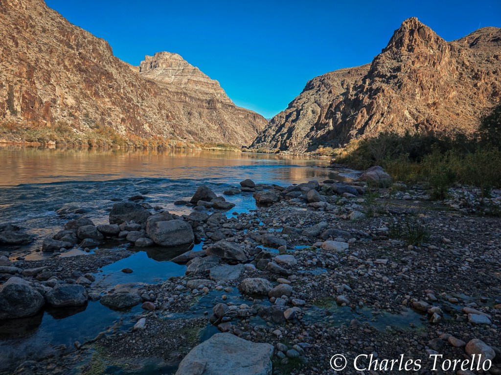
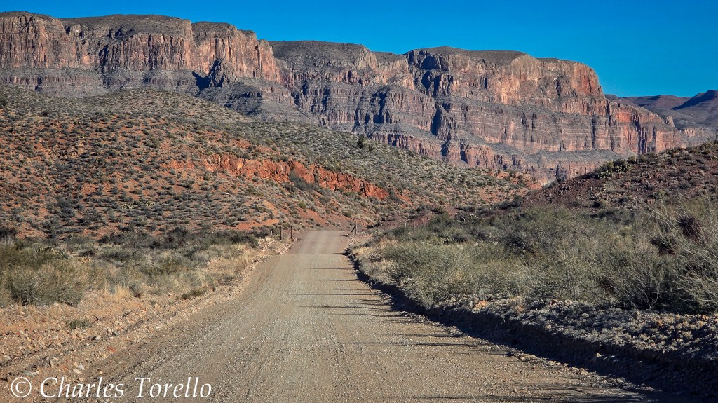
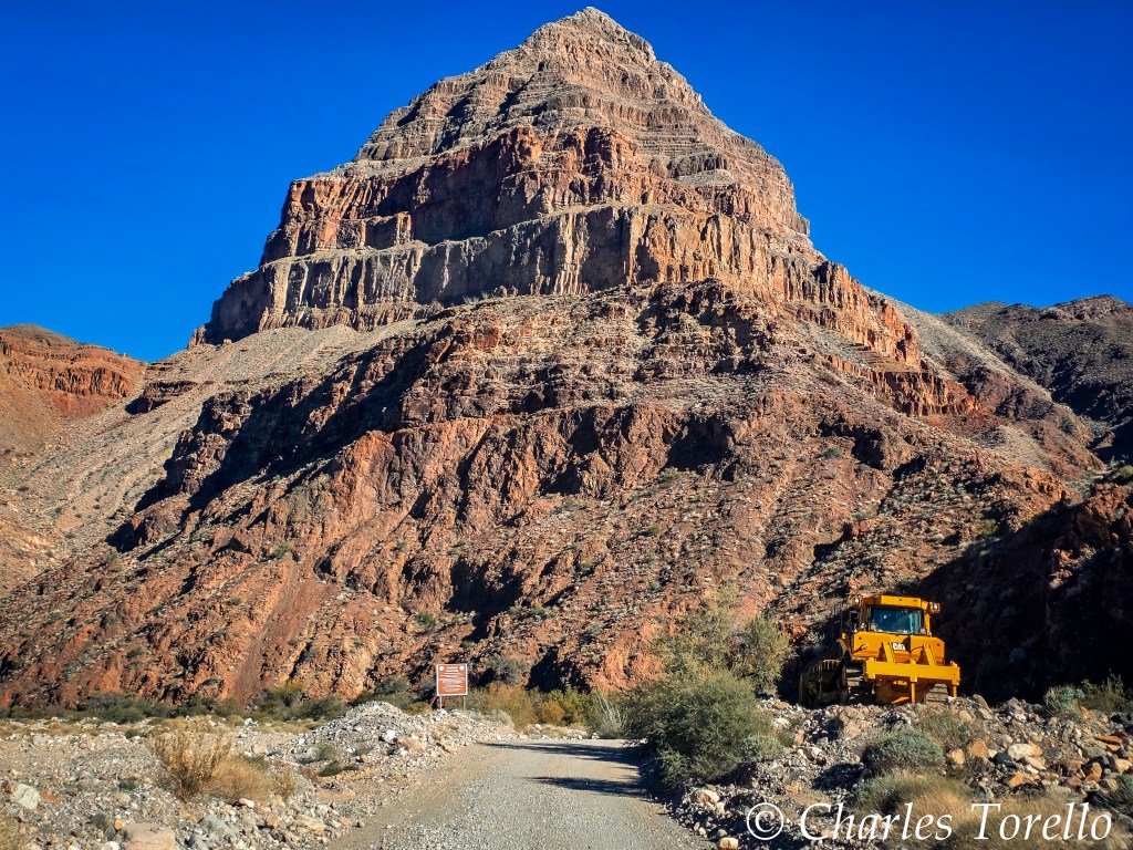
However, on the Hualapai Indian reservation there is a side canyon called Diamond Creek Canyon with a gentle enough gradient to host a fairly well maintained road that takes you down to the very bottom of Grand Canyon at River mile 226.
I took that road. I’d done it before in a shaky and uncomfortable old school bus filled with tourists on a hot summer day. But then I did not have the opportunity to take photos as I would have liked. So I did it again.
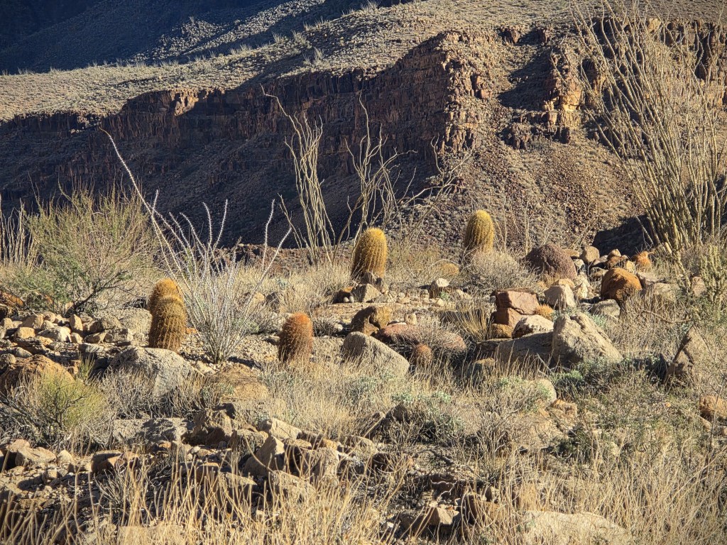
These aren’t my best photos. I share them merely to share the experience.
To make this drive you must buy a permit from Hualapai Fish and Game at the town of Peach Springs on Old Route 66, northwest of Seligman.
I also purchased a permit to camp at the bottom. However, a couple hours was enough. I was in the shadow of the Canyon walls by 1 pm, and did not want to spend the rest of the day at the bottom of a cold dark canyon when I’d just left one.
Snowstorms and monsoons would be cool to capture there.

Charles – I’m amazed at the places you travel to and the photograpy. Few people probably travel to these places or get the pictures you do.
Gary
LikeLiked by 1 person