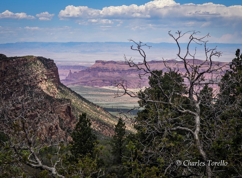
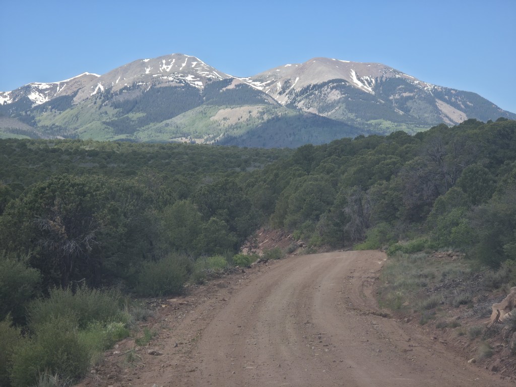
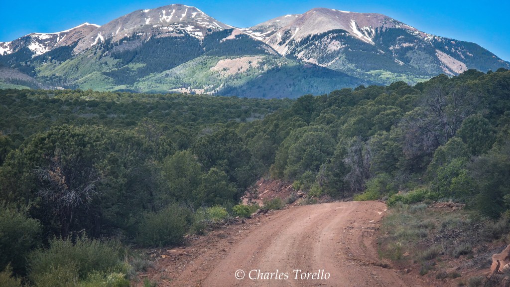
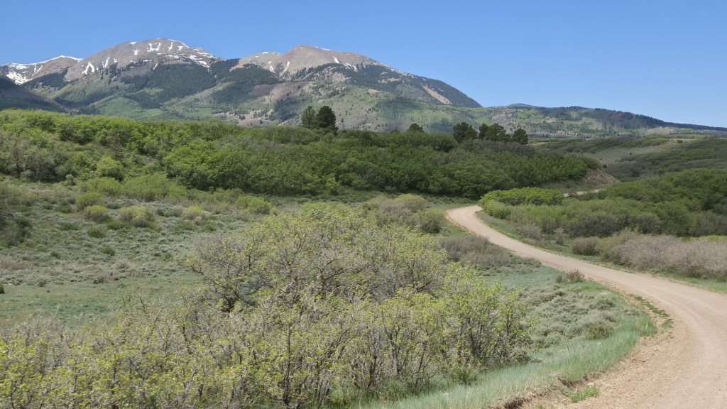
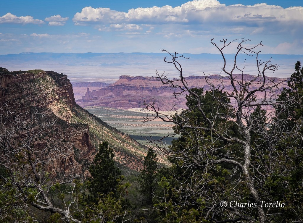
The road through Utah’s La Sal mountains in the photos below is at around 9000′. Here the temperature remains pleasant during summer days but still gets chilly at night. I’d not want to camp here from October 1st to May 1st, and probably beyond those dates.
The La Sal’s are considered to be the second westernmost peaks of the Central Rockies – Utah’s Henry Mountains are the westernmost. The La Sals are Precambrian, igneous rocks – what Creationists would call primordial rocks – that pierced through the deep layers of red-hued sedimentary rocks of the surrounding Colorado Plateau. How long ago this happened is open to debate.
Regardless, once upon a time, when the sky and weather were purer, the La Sal’s in summer would get their share of afternoon monsoons as used to be so in Arizona. To be on these mountains in the clouds during a summer storm could create drama. The lightning, hale and even snow blowing violently at 10,000′ could create serious drama. So could the clearing of the clouds and the rainbows arching over those white peaks. That scenery could be as ethereal as anything you’ll see at Grand canyon.
But there would be no storms today. I could feel it. You can just feel it when the monsoons build, and when they don’t.
If I did feel them, well, I don’t know what I would have done on this day.
After all, I find these La Sal’s special. They are surrounded by the Colorado Plateau. To their east is the Dolores canyon country. To their west are Arches and Canyonlands National Parks. Some consider Arches a Top 5. I don’t agree, but it is a Top 10, and there are views at Canyonlands as dramatic as the Grand Canyon.
Most Rocky Mountains ranges don’t pierce the Plateau. Most aren’t surrounded by this red rock wonderland. The whole area, well, I’d certainly like to come back to it in cooler temperatures, as I’ve said before.
But as soon as I got into Moab, I wanted to leave.
I wanna be in Moab when I wanna stay.
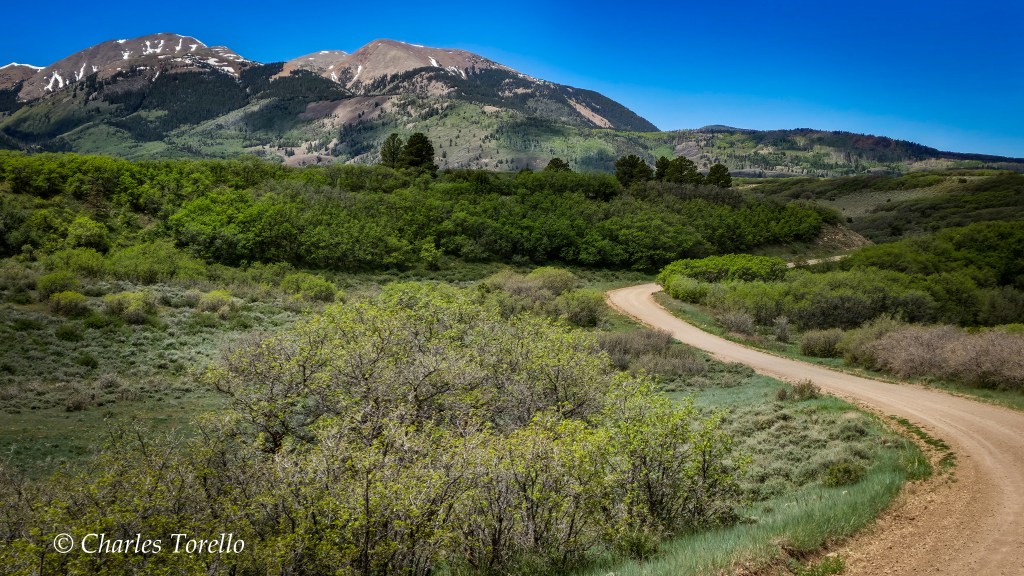
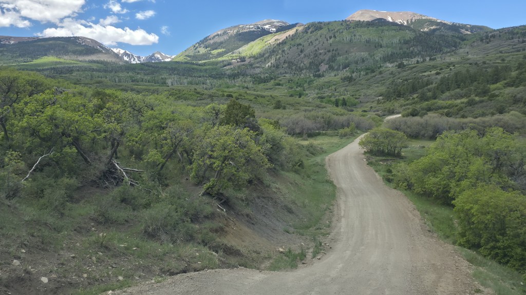
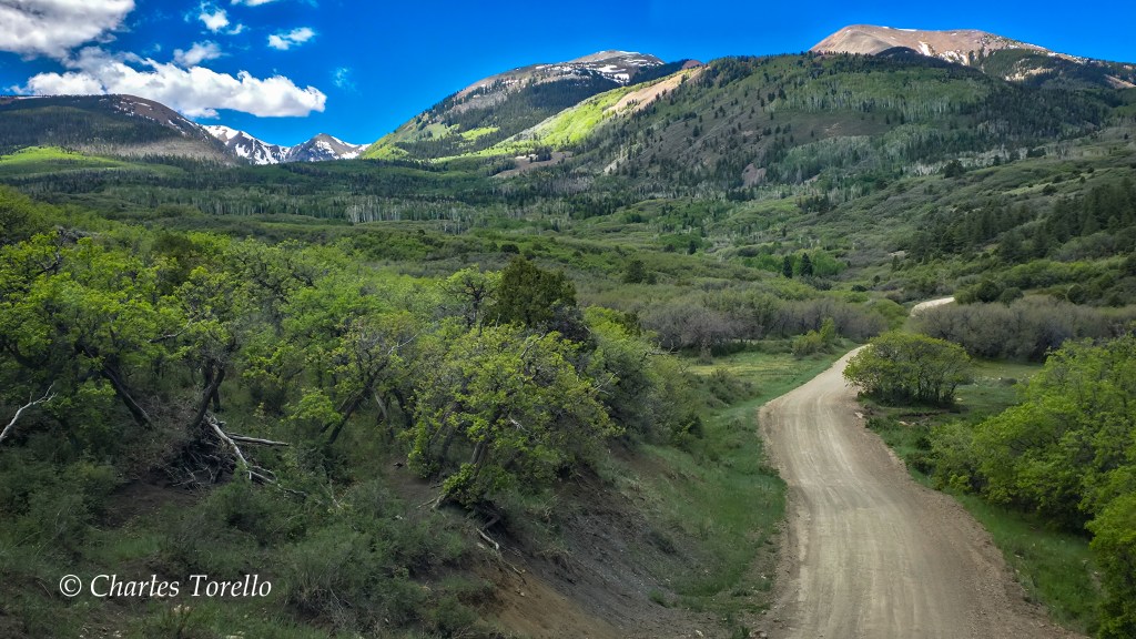
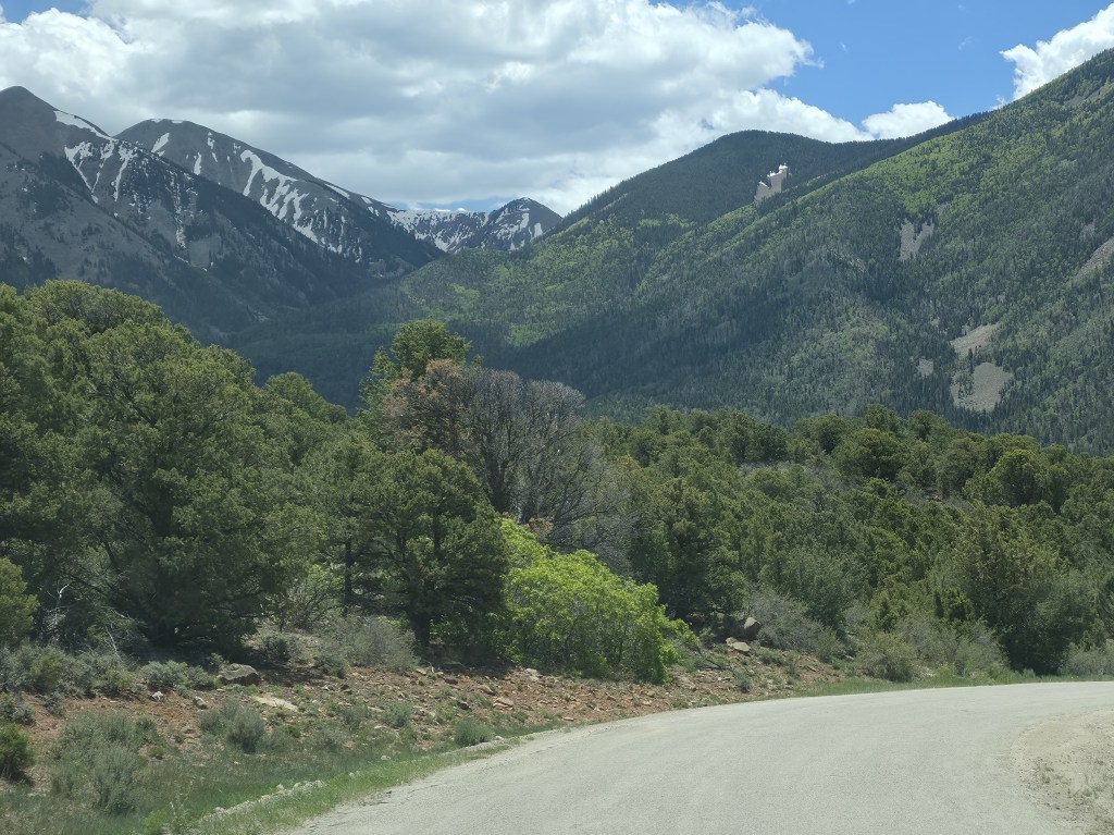
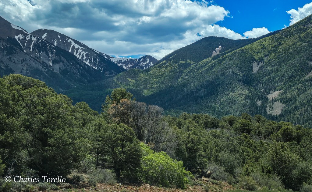
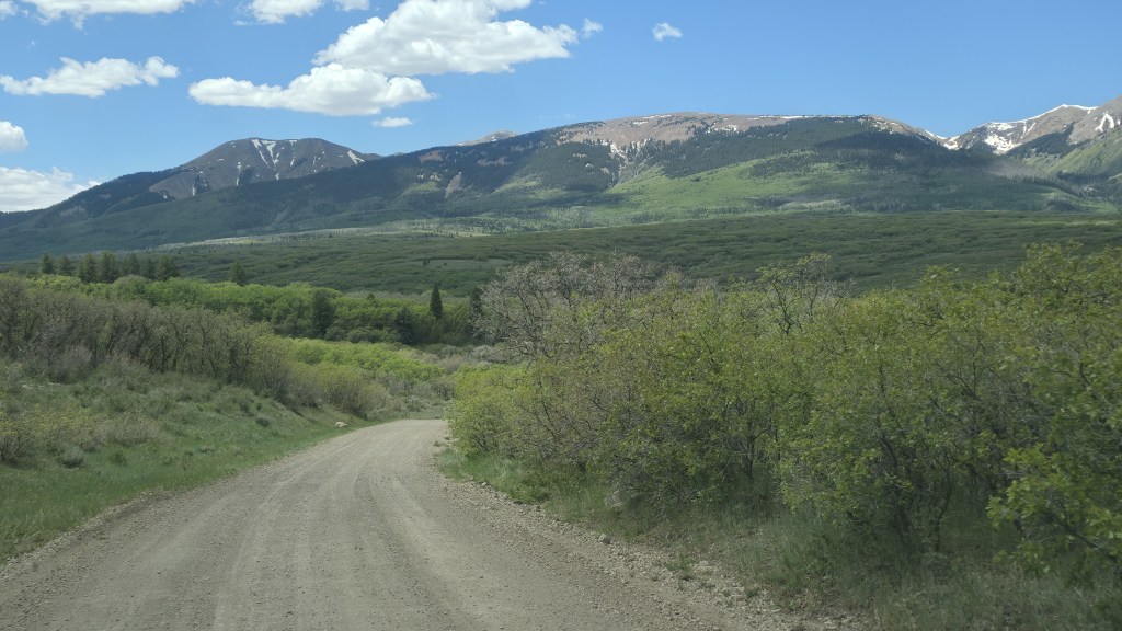
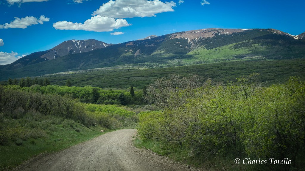
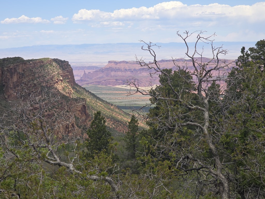
Below is more or less where the photos were taken.


As usual, amazing pictures and interesting commentary. We live in an amazing country. I am enjoying the trip across it.
Gary
LikeLiked by 1 person