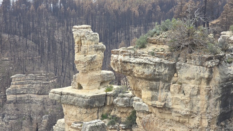
I’ve shared photos from this area before. But that was before this summer’s Pocket Fire.
To those who don’t know, the Pocket Fire started on June 19th. It was so called because it originated in an area of the Coconino National Forest labeled as the “East Pocket” on some maps.
The East Pocket sits above Slide Rock State Park in the famous Oak Creek Canyon. There was quite a concern that it would it would climb down Oak Creek Cayon’s walls and burn southward towards Sedona. There was concern for me because someone very dear to me lives in OCC, and evacuation orders were given.
However, evacuation proved unnecessary. The fired burned along a more westerly axis. Then, Arizona’s beautiful monsoons began to fall and the over 1,000 personnel containing the fire achieved 100% containment on July 30, 2026. It burned a total of 27,393 acres.
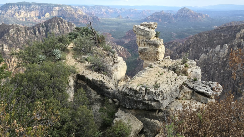
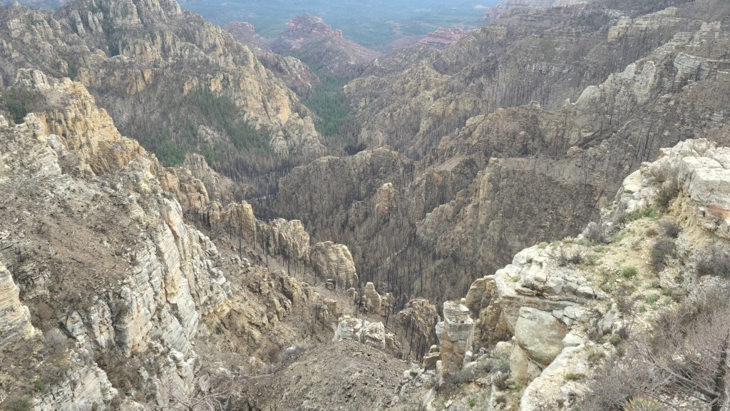
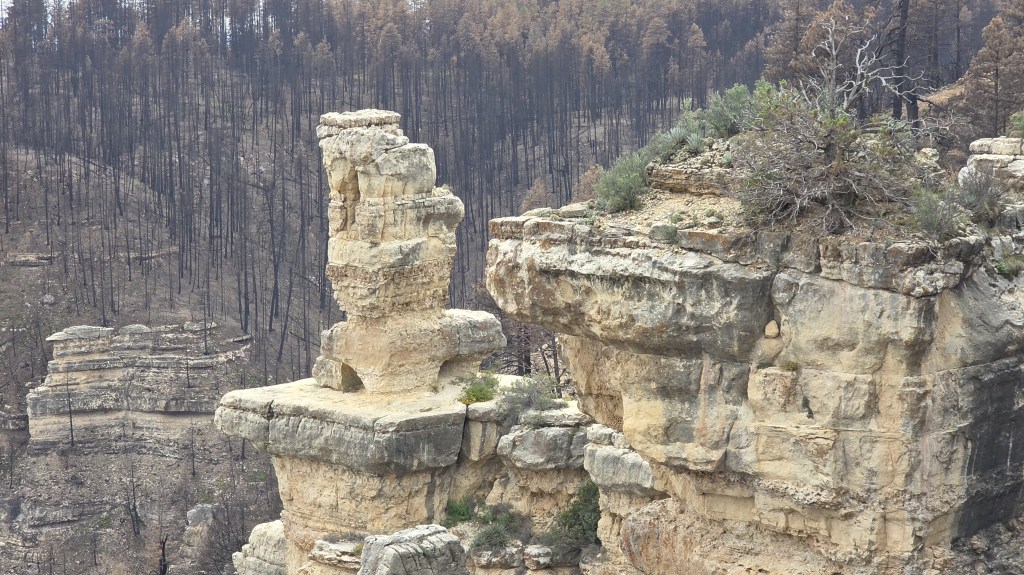
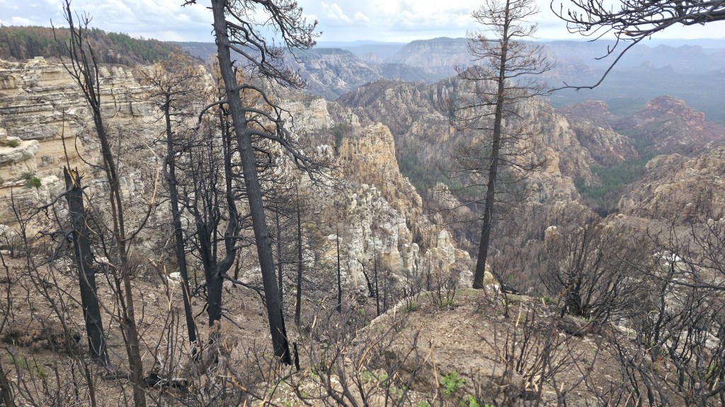
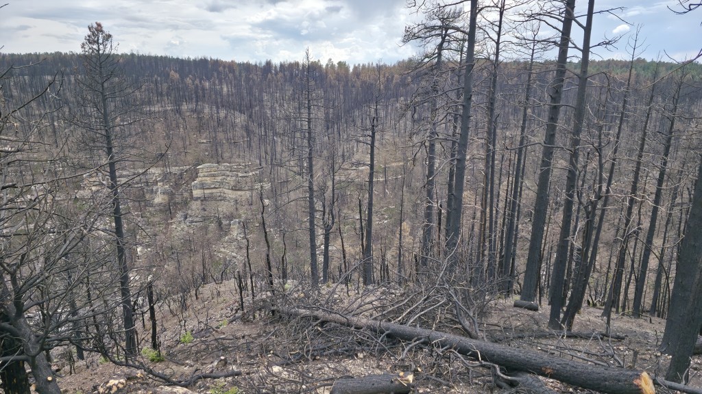
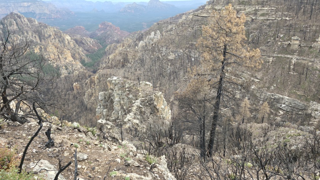
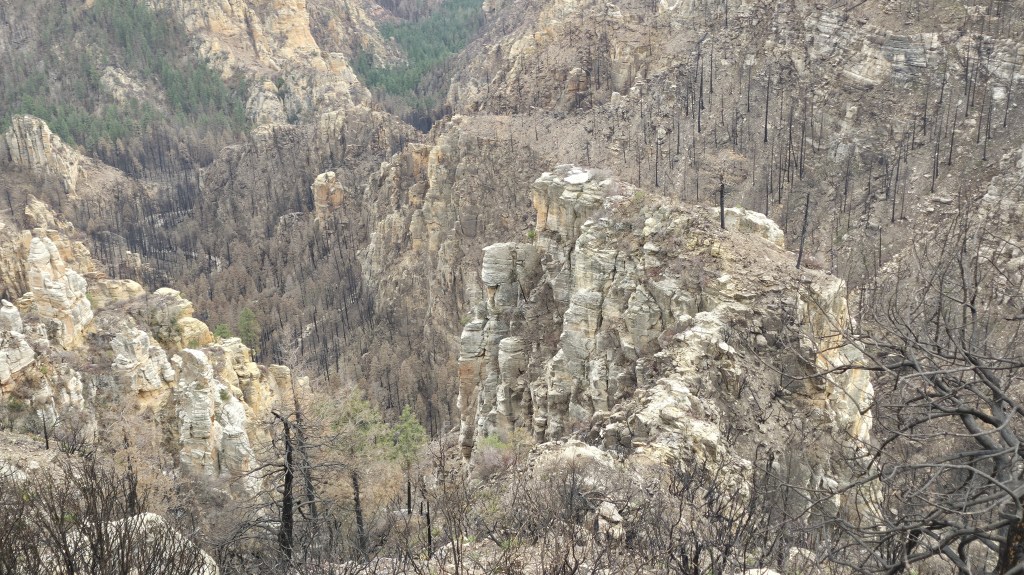
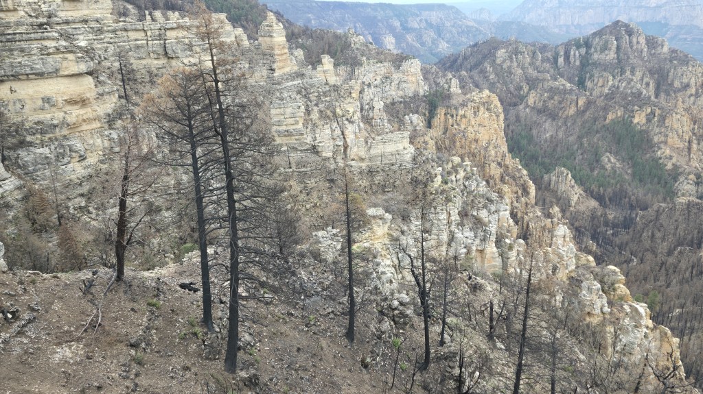
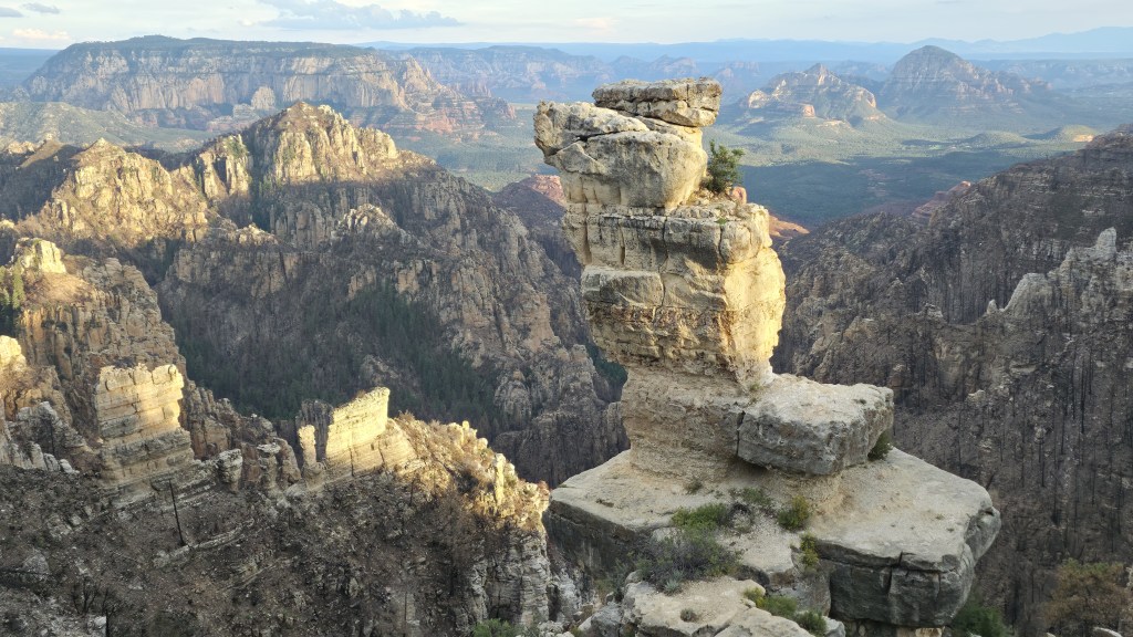
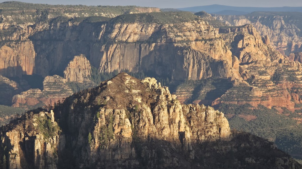
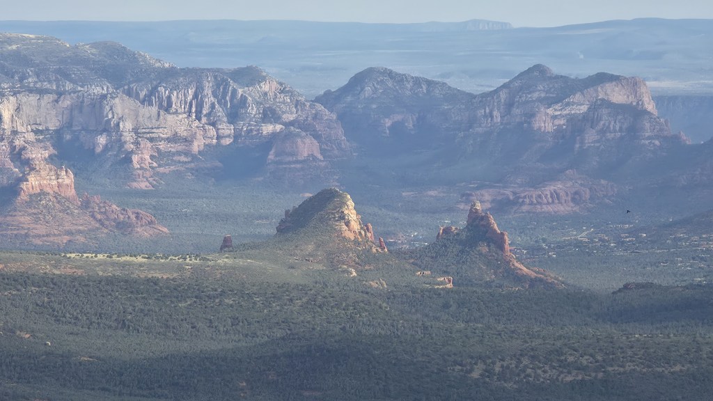
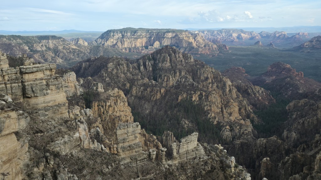
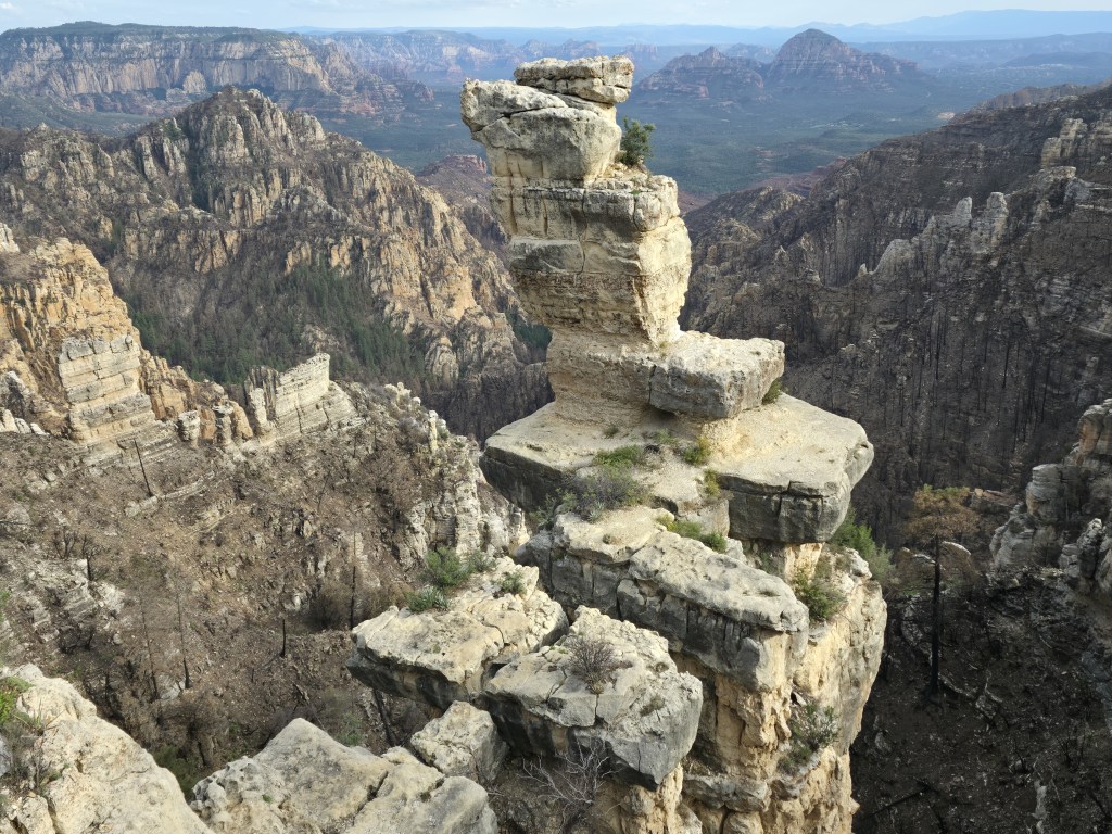
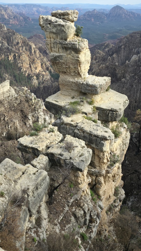
These photos are from about a couple days ago. They are not samples from the whole area. They come from the Edge of the World where Jenga Rock is.
As you may be able to see, from some of the photos, the fire did descend into the Western or Seven Canyons area of Sedona. Bear Sign Canyon – one of the 7 – got hit hard. Better that the Pocket Fire descended into an uninhabited area than one where people live.
Below are 14 of the photos I took.


Charlie,
It was good talking with you today. Thanks for the pictures. Too bad so much damage was done. I hope the cat was OK. By the way, what is that formation that looks likes rocks piled on top of each other? I wonder how that ever happened?
Take care,
Gary
LikeLike