
This post illustrates one of the more fascinating moments for me in 2021. Let me explain…
*
Desert. So much of California’s desert. Only a small swath on the coast has (almost) perfect weather.
Heading west on interstates 8, 10 and 40, from Arizona, all lead to mountains that separate brown deserts to the east from greener coastline to the west. Those mountains are a divider of weather. They are a divider of civilizations.
Literally.
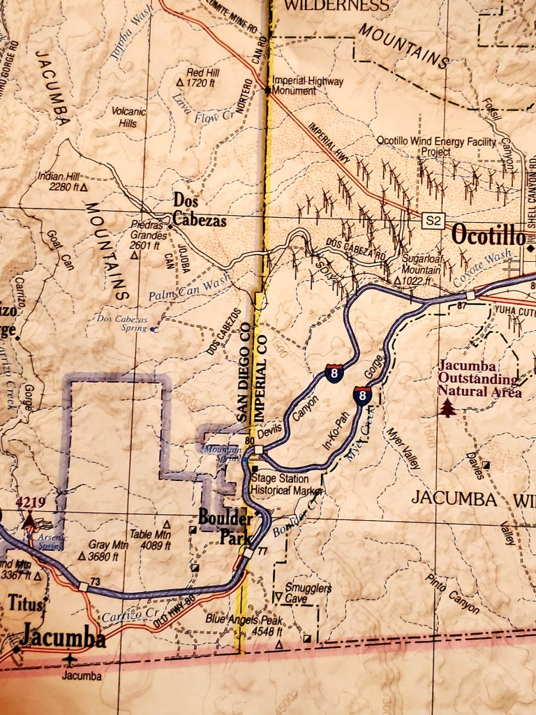
Recently I took I-8 west from Yuma. There was no good reason to be in Yuma. My reason was to see the desert unfold from there to San Diego. It was to see how the small mountains ranges east of San Diego – with names like Jacumba, Laguna and Cucamaya that peak out between 4,000 and 6,000 – create that divide of weather and civilization.
I took the drive on Tuesday December 14th. The California coast was getting beau coup rain, according to the radar.
Yuma had none that morning. Most of the desert along my westward path had blue skies. Much of the land was green for massive irrigation farming. Here is America’s winter garden.
But then, lo, those mountains. Dark clouds rose above their crests. Streaks of black were visible in the far horizon. Climbing in elevation on the winding 8 through the golden-boulder strewn Jacumbas first led to intermittent sunshine, then fog, then fog so thick I could only see fifteen feet in front of me. Cold was creeping through my windshield.
A perfect communication between land and sky this drive evinced. The eastward blowing weather system was compressing stormy moisture upon the highest points of the Cucamayas. The further westward away from that compression zone I drove the more the sky lightened. Fog disappeared. Only rain.
The vegetation was no longer desert. It was chapparal. It was manzanitas, scrub oaks and an assortment of thorny bushes that grow above the desert line, that is, that grow above the elevation line that receives ten or more inches of rain per year.

Interstate 8 was noticeably declining in elevation the closer I got to San Diego metro. Three thousand… two thousand… one thousand… At these elevations on the browner east side of the mountains, in Imperial County, it wouldn’t be chapparal. It would be desert, as, obviously, these mountains block much moisture from falling upon southeast California’s Colorado Desert.
Then the chapparal disappeared entirely. Grass covered hills here and there. Along canyon washes grew sycamores and even some live oaks. Above them on hilly ridgetops grew palms and pines. More and more million-dollar homes began to dot the landscape.
Again, the mountains are a divider of civilization. That’s because the mountains divide the weather and vegetation and ambience.
But of course those palms and pines are not indigenous. They’re all transplanted. They’re all to make a landscape that is, I say, uniquely Southern California which, once upon a time, was the apple of my eye. All I ever wanted to do was live there.
And part of me still thinks San Diego’s weather is the most perfect in all of God’s Creation. Maybe growing oranges in undeveloped coastal valleys in times before cityscapes took over would have been heaven. Maybe I would have still loved SoCal unto the early 2000’s.
But certainly not anymore. Of course, I call California “Commifornia” for a reason. It’s prices, taxes, traffic, congestion and politics are insane. Add the new element of omnipresent liberal maskholes, and I wonder why I even go there anymore.
Well, I wanted to see the Pacific. I do love it. But a new indoor mask mandate going into effect the following day, on Wednesday the 15th, made me say to hell with this place. So, I just started back for Arizona.
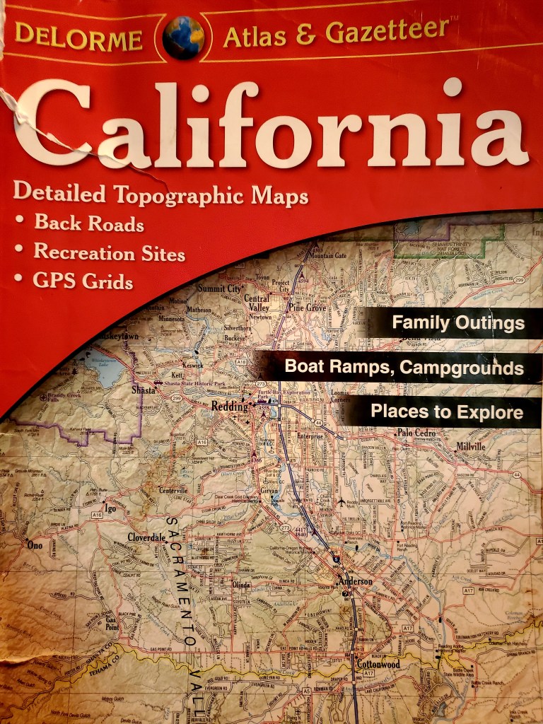
Growing up in Texas taught me to like long drives. And I did enjoy this one. These amazing things called maps – like my California DeLorme Road Atlas pictured below – make me curious for the most random stuff that no one else seems to care about.
But I don’t understand how you couldn’t be curious about weather patterns, and topography, and…
Ach. I’ll just shut up now.
__________
Featured image from: http://images.roadtrafficsigns.com/img/lg/K/interstate-california-8-sign-k-9215-8.png

Well done! Those mountains are still separating different cultures today. When people fled from the evil of Chaco they did a “Ceremony of Forgetting” so they would not carry that evil with them. Hopefully those fleeing California will do the same.
LikeLiked by 1 person
The SoCal coast is kind of a natural bubble of reality. I find it fascinating that a climate so beautiful is so close to a climate so harsh, that is, that climate of the Colorado Desert east of San Diego and Los Angeles mountains.
Add to this natural bubble the artificiality of palms, of water transported from hundreds of miles away, and thus population concentrations far beyond what nature intended, and you have millions of people’s mind also in a bubble of reality.
And of course I’m talking about the liberals of Commifornia!
LikeLike