The valley west of Death Valley – Death Valley technically being the valley of the Amargosa “River” – is the Panamint Valley. The Panamint is still within Death Valley National Park. According to Wikipedia, the “origin of the name is the Paiute or Koso word Panümünt or Pa (water) and nïwïnsti (person).” (1)
You traverse the Panamint on CH 190. I took 190 to Lone Pine on Monday the 6th. I’d been deliberating on continuing west from Lone Pine to the coast.
However, seeing the below views made me wanna’ head back east from Lone Pine, and capture the images I did.
Trip Advisor’s list of the Top 15 things to do at Death Valley NP doesn’t even list the Panamint Valley. Granted, I’ve not been to everything on that list. However, from what I have seen, the view of the Panamint from the Father Crowley overlook was the second best thing to do behind Dante’s View.
(Trip Advisor ranks Dante’s View as #1, Zabriskie Point as #2, and Badwater Basin as #3. Essentially, I’d put the Panamint as #2, and agree with the order thereafter.)
Now, the photos I took heading east from Lone Pine…
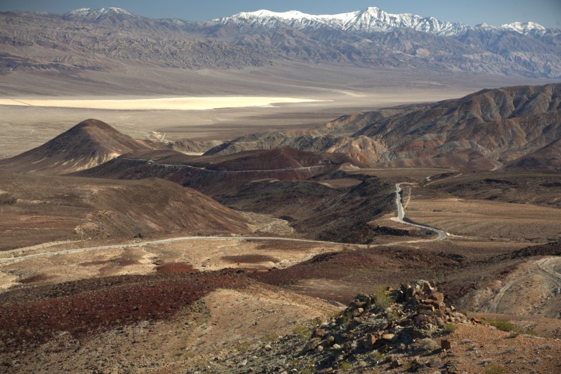
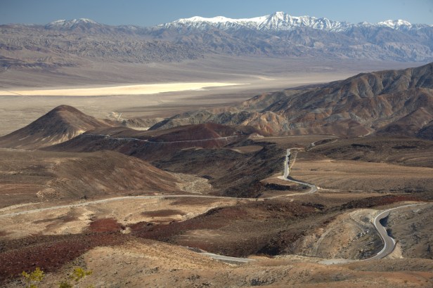
From the Father Crowley Overlook parking area you can drive an unpaved road to its end. I, however, walked the road because I wanted exercise. I got this first Panamint photo en route. Here you are looking eastward at the west face of Telescope Peak, which is the same snowy mountain you see from the Badwater Basin (and from Badwater you’re looking at Telescope’s east face).
This is the view from the end of that road, which is what makeS the Father Crowley overlook #2 in my opinion.
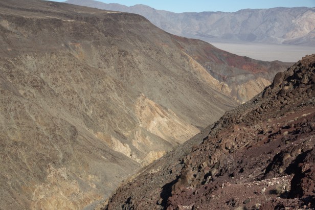
Unremarkable photo. But this is Rainbow Canyon, aka, Star Wars Canyon. Hot dog pilots from the many nearby military bases had been known to fly through this canyon, below the rim. However, a 2019 crash now, apparently, prevents planes from flying below the rim… though I bet there are hot dogs that still attempt such.
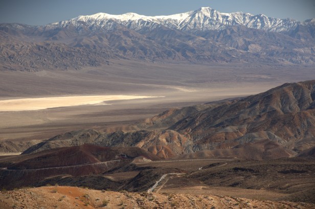
This is a little further down the road from the Father Crowley overlook. Yes, it’s essentially the same photo. However, I was motivated to get as many different angles as I could. This Tuesday the 7th of February in the year of our Lord 2023 was a fine day to be under the sun at Death Valley NP. And… an F18 buzzed me at like 150′ here. Scared the HELL out of me.
Panamint Springs is not a town. It’s a “resort”. It’s at the western bottom of the valley. It’s a hotel, restaurant, gas station and place to camp. It ain’t much. But, no doubt it would be charming to stay here if I weren’t constantly fighting time.
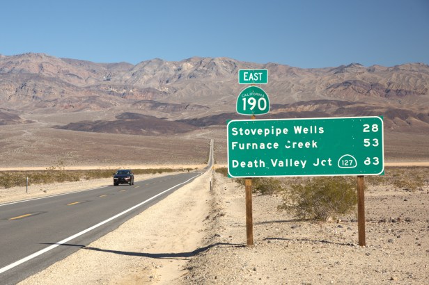
I was heading to Stovepipe Wells this day. That 28-mile drive from this sign at, essentially, the very bottom of this valley is a winding, tumultuous path which you cannot travel at 60 mph. It took me almost an hour to get to Stovepipe from here.
Going up the east side of the Panamint. The west side has far more dramatic views.